Geographer · Field researcher · Storyteller

I study how people shape landscapes and how landscapes shape us back.

I’m Grace, a geographer documenting land, ecology, and fieldwork in southern Africa. My work connects the close up details of a savanna plot to the bigger questions of land use, livelihoods, and resilience while bringing that process to life through Geogdegen.

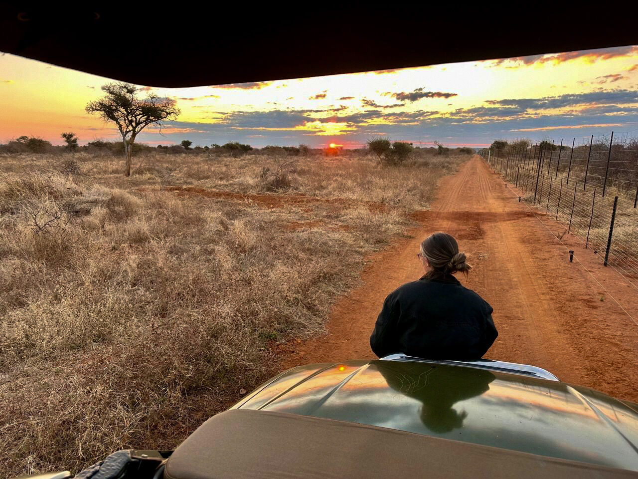
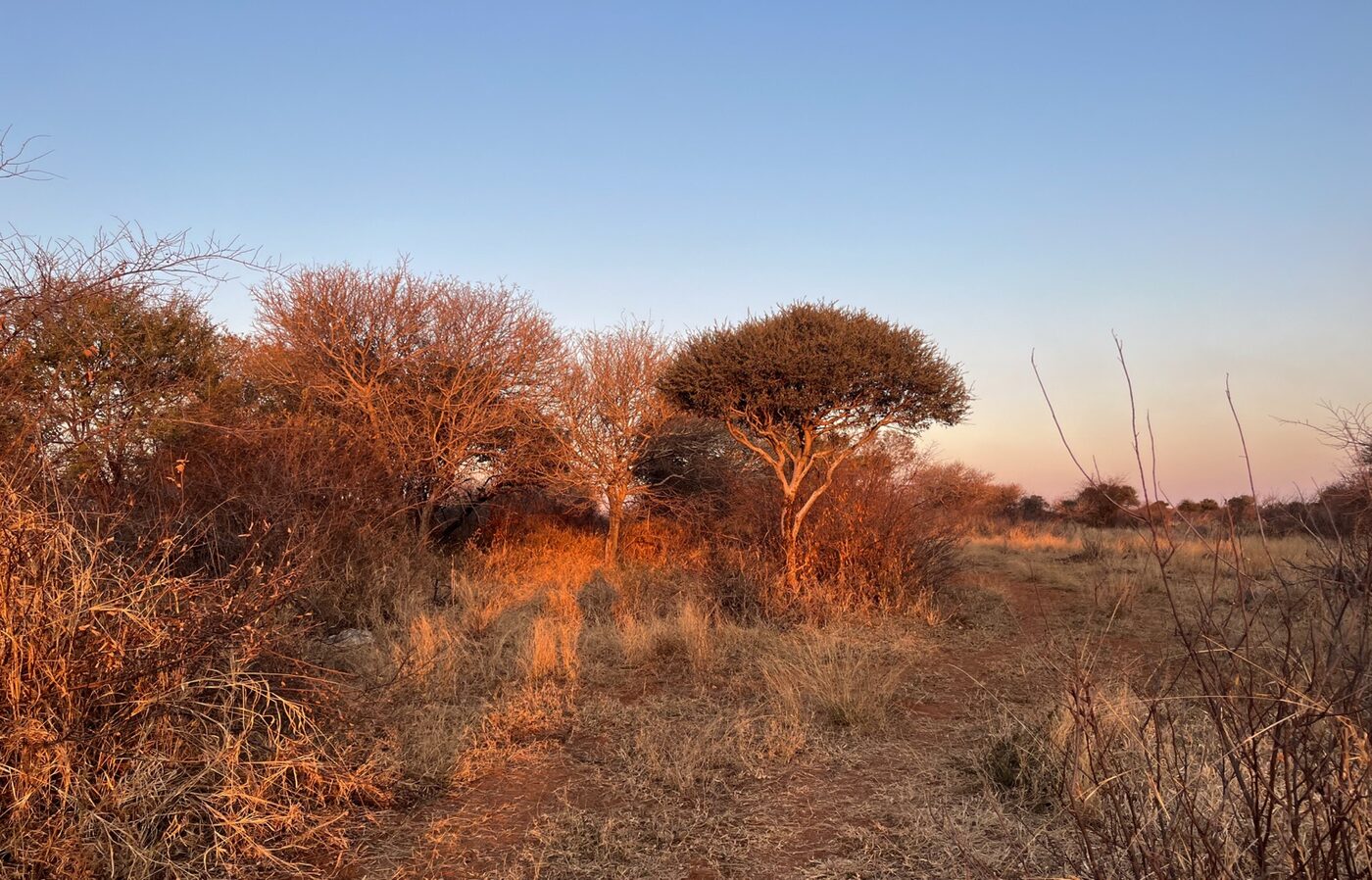
Grace riding through the Limpopo savanna at sunset
Current coordinatesBetween Limpopo
& Colorado
FIELD NOTE
26°S / 39°N
SCROLL TO WANDER ↓
FIELD ECOLOGY GIS & MAPPING LAND USE RESEARCH TEACHING VISUAL STORYTELLING SOUTHERN AFRICA

Two homes. One curious mind.

I’m most at home somewhere between a map, a dusty field notebook, and a very big question.

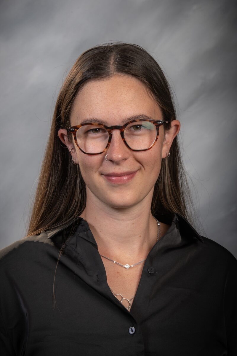
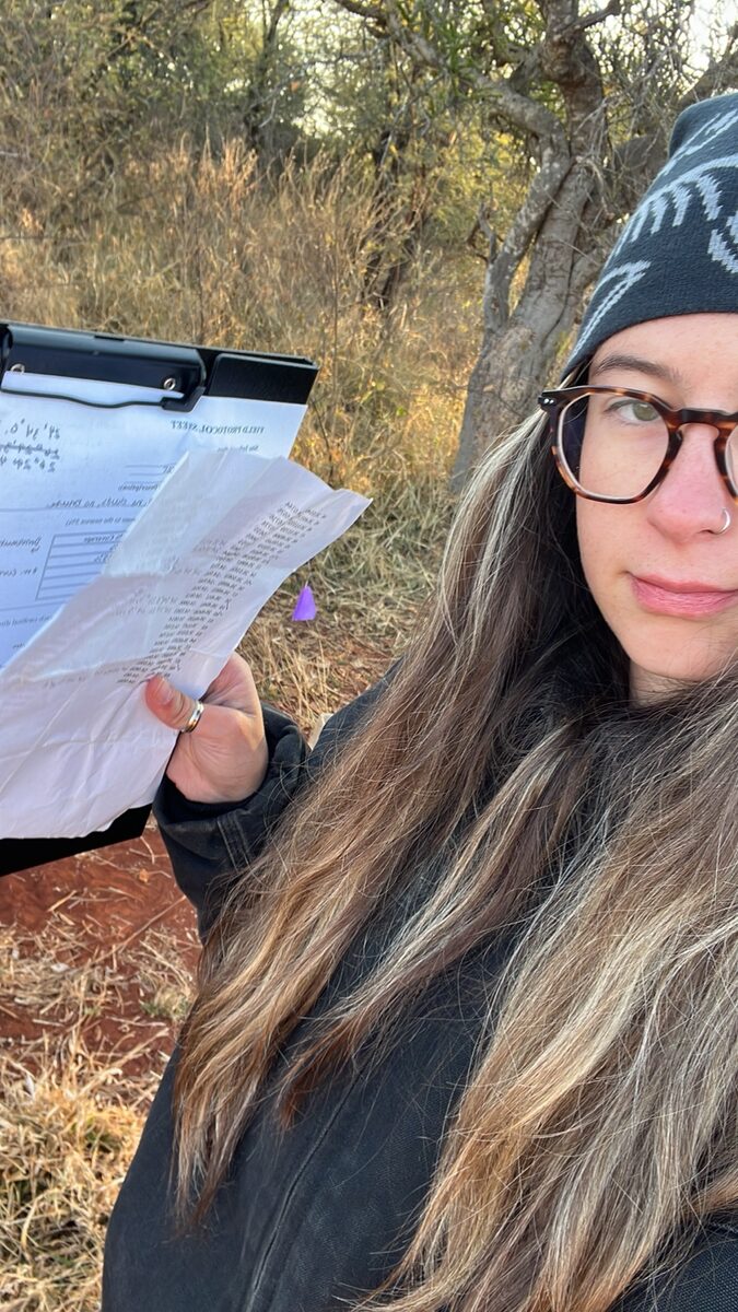
Portrait of Grace Long
Grace Long · Geographer

I grew up between South Africa and the United States, which taught me early that landscapes are never just scenery. They hold histories, economies, conflicts, and possibilities.

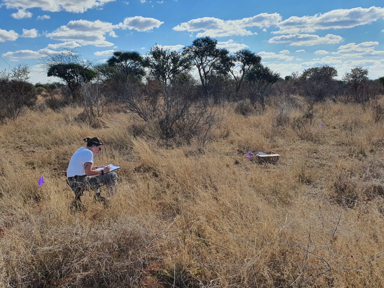
My undergraduate honors research took me into the Limpopo bushveld to investigate rangeland health through vegetation quality and bush encroachment. By pairing plot level fieldwork with spatial and statistical analysis, I traced how palatable grasses, shrub cover, and Silver Raisin varied across one mixed use ranch. That project became the foundation for my M.A. in Applied Geography at UCCS, where I’m expanding the comparison across farms and asking how management incentives and constraints influence ecological outcomes.

Through Geogdegen, I share the parts of research that rarely make it into the final paper: field observations, species stories, travel logistics, changing questions, and the everyday process of learning to read a landscape.

BAGeography & Environmental Studies
MAApplied Geography · in progress
FIELD FOCUSSavanna ecology · land use · ranch resilience
HOME RANGEColorado ↔ South Africa

Research with its boots on

From one field site to a bigger story.

My work has grown from an undergraduate study on one Limpopo game ranch into a broader master’s comparison and a public record of the journey through Geogdegen.

01

Undergraduate honors research · Limpopo

Bush encroachment and rangeland health

Across 30 vegetation plots on a mixed use ranch, I combined field observations with statistical and spatial analysis to examine forage quality, shrub cover, canopy closure, and Silver Raisin abundance. The study found generally healthy vegetation alongside localized woody thickening, showing why rangeland condition is better understood as a patchwork than a single label.

Honors thesisVegetation plotsSpatial analysis
02

Master’s research · Southern Africa

Ranch resilience in semi arid savannas

Building from my undergraduate work, I’m comparing ecological health across agricultural, livestock, and wildlife based land uses while tracing how economics, risk, and management decisions shape the landscape.

Field ecologyMixed methodsPolitical ecology
03

Geogdegen · Public scholarship

Taking fieldwork beyond the thesis

Through Geogdegen, I turn research, species encounters, travel logistics, and the realities of fieldwork in Africa into accessible videos that bring viewers into the process instead of only presenting the polished result.

Video storytellingField educationAfrica travel

Teaching is part of the fieldwork

Curiosity grows when knowledge feels reachable.

I care deeply about teaching and learning because geography becomes more powerful when people can connect big ideas to the landscapes around them.

At UCCS, I have supported students as a teaching assistant across Environmental Remote Sensing, Quantitative and Statistical Analysis, Geography of Climate Change, GIS, and physical and human geography. My graduate teaching has also included Geography of Africa and World Regional Geography.

Those roles have taught me how to meet learners where they are, translate technical ideas into useful examples, and make space for questions. Geogdegen extends that same commitment beyond the classroom. It is where I make ecology, species knowledge, field methods, and the everyday realities of the bush easier to understand and more accessible to anyone who is curious.

Learning AssistantTeaching AssistantGraduate TeachingPublic Education

Awards & credentials

Good questions and the work it takes to follow them.

Recognition for research, leadership, and academic work at UCCS, alongside the credentials that support my field and spatial practice.

012025

Outstanding Undergraduate Student Involved in Research

UCCS College of Letters, Arts & Sciences

Recognized for undergraduate field research on rangeland health, land use, and game ranching in South Africa.

022025

Outstanding Undergraduate Student · GES

UCCS Geography & Environmental Studies

Department recognition for academic work in geography, environmental studies, and field research.

032025

Outstanding Leadership Award

GES Peak Ambassador

Recognition for leadership and representing Geography & Environmental Studies within the university community.

042024 & 2025

Jacquelyn Beyer Fellowship

UCCS Geography & Environmental Studies

A competitive merit based fellowship supporting geography students.

Academic credentialB.A. Geography & Environmental Studies
Professional toolkitCertificate in Geographic Information Systems (GIS)
Google Data Analytics Professional Certificate
Honor societyGamma Theta Upsilon
Current studyM.A. Applied Geography · in progress

Selected recognition and credentials verified through UCCS records, my CV, and LinkedIn.

Observations in progress

Notes from the veld, the research, and the field book.

Short reflections drawn from my working field notes. These are early observations and questions, not final thesis findings.

VEGETATION / 07

In the veld

Reading a landscape beyond ‘good’ or ‘degraded’

What grasses, shrubs, bare ground, and small changes across a farm can reveal about veld condition.

Read field note

A savanna rarely gives a simple answer. Across my field sites, areas that looked similar at first glance could tell very different stories once I slowed down: palatable grasses growing beneath thorny cover, bare patches near heavily used areas, dense sickle bush, or silver raisin appearing in some places and disappearing in others.

My field notes record these patterns area by area rather than forcing each farm into a single label. The goal is to understand ecological health as a mosaic shaped by soils, rainfall, animals, fencing, water points, and years of management decisions instead of making a quick judgment of ‘good’ or ‘bad’ land.

FIELDWORK / 04

Across the farms

From one game ranch to a regional comparison

How an undergraduate case study grew into master’s research across farms and land use systems.

Read field note

My undergraduate honors project began with 30 vegetation plots on one Limpopo game ranch. I measured forage palatability, shrub cover, canopy closure, and Silver Raisin abundance to understand vegetation quality and the intensity of bush encroachment. The results suggested that the ranch was broadly in good condition, but that woody thickening and lower quality forage appeared in localized patches.

That first study raised a larger question: how much of what I observed belonged to the land use itself, and how much reflected a particular farm’s history and management? My master’s fieldwork now compares multiple farms and areas, documenting vegetation condition alongside the incentives, costs, risks, and constraints that influence land managers’ decisions.

METHODS / 11

From the field book

What fieldwork actually looks like

A practical look at rapid appraisal, opportunistic sampling, dusty field sheets, and adapting a method to real landscapes.

Read field note

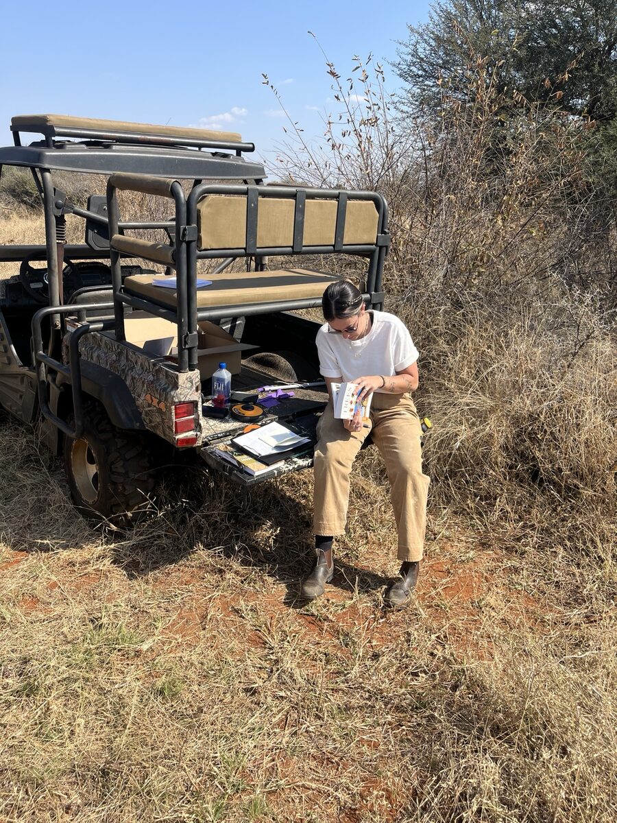
Fieldwork is never as tidy as the methods section makes it sound. Access changes, vegetation blocks a route, farms vary dramatically in size, and the most revealing area may not fall inside a perfectly spaced grid. My current approach combines rapid appraisal with opportunistic sampling so I can document meaningful ecological contrasts while staying consistent about what I observe.

For every area, I record recurring indicators such as species composition, palatability, shrub and tree density, bare ground, erosion, canopy, and signs of livestock or wildlife. I then add the context that numbers alone can miss. These notes are observations in progress, not final results. Together, they form the bridge between what I saw in the veld and the analysis that will become my thesis.

OPEN TO
COLLABORATION

Let’s compare notes

Have a landscape to understand, a field story to share, or a research idea worth following?

I’m always interested in savanna research, land use questions, environmental storytelling, and projects that bridge South Africa and the United States.

GRACELONG7777@GMAIL.COM